|
 La Brenne
is said to be one of
France’s best kept secrets this is probably due to the size of the
area and its ability to remain hidden from
the casual tourist. There are many private and restricted sections
within the park but a good map and guide will open up a wealth of
opportunities. It is an
area of rich flora and
fauna delicately preserved by its ‘National Park’ status. La Brenne
is said to be one of
France’s best kept secrets this is probably due to the size of the
area and its ability to remain hidden from
the casual tourist. There are many private and restricted sections
within the park but a good map and guide will open up a wealth of
opportunities. It is an
area of rich flora and
fauna delicately preserved by its ‘National Park’ status.
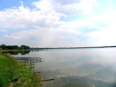

I t has evolved out of the
desire to protect the area’s natural and cultural heritage and its
creation has helped to develop the local economy together with the
natural habitat. Its
origins date
back to the middle ages
when many lakes/ponds were formed for fish farming by monks who had
established abbeys at Fontgombault, St.-Cyron and Meobecq. They
began clearing the land
and building dykes to
improve the soil in order to sustain the habitat and provide for
their long term future.
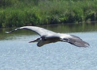
Depending
on what you read the area
has anything from 1000 to
over 2000 ponds/lakes and
is now one of the most important fish farming areas of
France.
Some are partly drained and fished each year for the home market and
for export.

Since
gaining its ‘National Park’ status in 1989 the area is now
established as an
exceptional location for bird life with
over 260 species recorded of which 150 stay to breed.
It not only birdlife that flourishes as the area is home to an
abundant array of butterflies and dragonflies. The plant-life is
also richly diverse ranging from orchids to vast reed beds to heathland and ancient oaks. The woodlands and heaths provide natural
shelter for wild boer, roe and
red deer.
Many nature lovers and bird watchers now make this their annual
destination making use of
the numerous ‘hides’ and observation points dotted around the park.
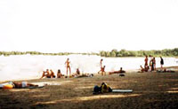
The
park also recognises that not all its visitors will be nature lovers
so has provided alternative places of interest such as lakes with
swimming beaches (at
Bellebouche
and Belabre) as well as a major
visitors centre- ‘Maison du Parc’ –at Le Bouchet.
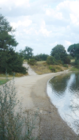
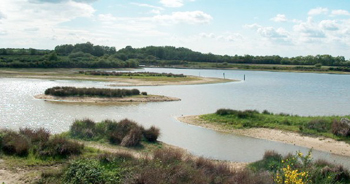
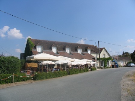
The area also offers a number
of restaurants and there are designated
cycling and walking paths as well as centres for horse riding and
canoeing.
Map of La Brenne
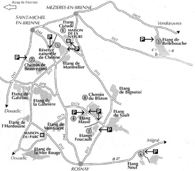
Map source :
skynet.be
View Larger Map
Back to top.
|